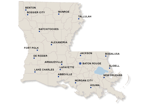
Description: Lousiana map
Image copyright: bankforeclosuresale.com
Date it became a state: April 30, 1812 (18th state)
Governor: Kathleen Blanco
Land Area: 51,839 sq. miles
States Surrounding it: Mississippi, Texas, Arkansas
State Nickname: the Pelican State
State Motto: Union, Justice, and confidence
State Mammal: Black Bear
State Bird: Brown Pelican
State Tree: Bald Cypress
History (5 important events):
1. 1719- Black slaves were imported into Louisiana
2. 1722- A hurricane destroyed most of New Orleans
3. 1723- New Orleans became the capital of Louisiana
4. 1729- Natchez Indians massacred 250 settlers at Fort Rosalie
5. 1769- Spain regained control over Louisiana
Geography (Describe the land, rivers, mountains, lakes, etc):
Louisiana is known for its swamps and marshes. Some of the land
are Louisiana is underwater. The Gulf of Mexico is the body of water around Louisiana. The average elevation is 98 feet. From an inland of 25 miles, the land gently rises into a wide coastal plain with a few rolling hills to the east and west.
Attractions/Places to Visit:
1. Mardi Gras Parades in New Orleans
2. Plantation mansions
3.Civil Battlefields
Other Interesting Facts:
With the Gulf Coast location, it’s a great destination anytime of the year. Louisiana’s nickname, “the Pelican State”, was named that because pelicans are constant residents in this state.