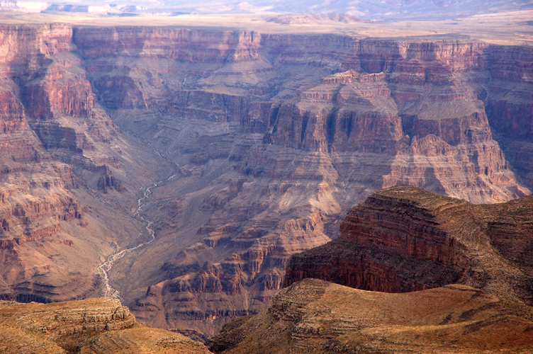
Landform Links
Minerals and Rocks Chart
Classify Rocks How do I classify different rocks?
Scholastic Rock Scavenger Hunt
North Carolina Topographic Maps Find a topographic map of an area by your home! Click on Wake County and explore. Students should be able to read coutour lines and identify steep slopes and rivers.
Google Earth If you haven't downloaded Google Earth yet, you're REALLY missing out. It's free! Once you download it, you can zoom in from a full-Earth view to YOUR house!
NC OneMap Once launched, on the left side under the "Query" subheading, click on the mailbox icon. This allows you to type in your address. Enter your address and click the "Find Address" button. A box will come up with X and Y coordinates. Click where it says "GoTo" to zoom in to your address on the map. On the right side of the page are all of the layers you can turn on and off. NC OneMap can show you everything from river basins to elevation, landcover to weather. It's a FANTASTIC resource, and a great place to start learning about your ecological address!
North Carolina Geological Survey The North Carolina Geological Survey (NCGS) examines, describes and maps the geology and mineral resources of North Carolina and publishes these findings in NCGS reports and maps. The NCGS administers cooperative geologic mapping agreements with the US Geological Survey, other federal agencies such as the National Park Service, and other state and local government agencies.
Reduce Runoff EPA Video |